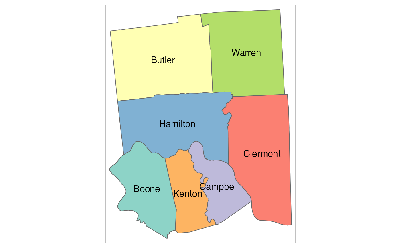
Skip to contents

County groupings are derived from CCHMC operational definitions

Usage

county_7cc_2010

Format

A simple features data frame with 7 rows and 6 columns:

county_name

County Name

county_id

County ID

state_name

State Name

state_id

State ID

geoid

GEOID (state_id + county_id)

geometry

simple features geometry column

Source

see data-raw/data.R for county FIPS listed for each grouping

Examples

tmap::tm_shape(county_7cc_2010) +
  tmap::tm_polygons(col = "county_name",
                    legend.show = FALSE) +
  tmap::tm_text(text = "county_name")
#> The legacy packages maptools, rgdal, and rgeos, underpinning the sp package,
#> which was just loaded, will retire in October 2023.
#> Please refer to R-spatial evolution reports for details, especially
#> https://r-spatial.org/r/2023/05/15/evolution4.html.
#> It may be desirable to make the sf package available;
#> package maintainers should consider adding sf to Suggests:.
#> The sp package is now running under evolution status 2
#>      (status 2 uses the sf package in place of rgdal)