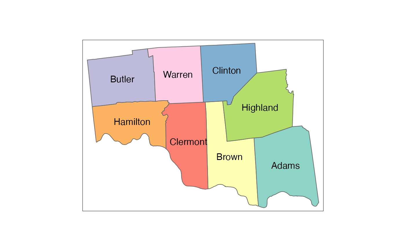
Healthvine Ohio Counties
county_hlthvoh_2010.RdCounty groupings are derived from CCHMC operational definitions
Format
A simple features data frame with 8 rows and 6 columns:
- county_name
County Name
- county_id
County ID
- state_name
State Name
- state_id
State ID
- geoid
GEOID (state_id + county_id)
- geometry
simple features geometry column
Examples
tmap::tm_shape(county_hlthvoh_2010) +
  tmap::tm_polygons(col = "county_name",
                    legend.show = FALSE) +
  tmap::tm_text(text = "county_name")
